Document Author
Year Published
Topic
- (-) Remove Map Gallery filter Map Gallery
- About Cartography (4) Apply About Cartography filter
- 100% Access to Justice (3) Apply 100% Access to Justice filter
- Best Practices (2) Apply Best Practices filter
- Justice Tech Entrepreneurs (2) Apply Justice Tech Entrepreneurs filter
- LEP and Access (2) Apply LEP and Access filter
- Plain Language & LEP (2) Apply Plain Language & LEP filter
- Reports, Evaluations, Best Practices, Surveys (2) Apply Reports, Evaluations, Best Practices, Surveys filter
- Research (2) Apply Research filter
- State-by-State (2) Apply State-by-State filter
- State Language Access Plans (2) Apply State Language Access Plans filter
- Strategic Planning (2) Apply Strategic Planning filter
- Working Groups (2) Apply Working Groups filter
- ATJ Commissions (1) Apply ATJ Commissions filter
- Consumer Adoption (1) Apply Consumer Adoption filter
- Courts (1) Apply Courts filter
- GIS Team (1) Apply GIS Team filter
- Integration with Institutional Process (1) Apply Integration with Institutional Process filter
- LEP Reports (1) Apply LEP Reports filter
- Plain Language (1) Apply Plain Language filter
- Technology (1) Apply Technology filter
State
Tags
Post date
Search results
Webinar: Mapping Access to Justice: Success Stories and Lessons Learned from the Field Featuring The Florida Bar Foundation (SRLN 2017)
NOTE: This video can be viewed at any time by registering at the link below. The Self-Represented Litigation Network (SRLN) is hosting this Webinar to share the story of how The Florida Bar Foundation used geographic information systems (GIS) technology ...
Presentation: GIS for Justice Workshop with Tip Sheet for GIS Analysis (NLADA 2017)
" GIS for Justice: Using a Tools from Outside the Lawyer's Toolbox " As we work collectively to fulfill the promise of justice for all and transform disadvantaged and disenfranchised communities, maps and visual data can be critical to our ...

Suzanne Wade
Suzanne Wade has been part of the SRLN Geographic Information Systems (GIS) team since July 2017. She is a GIS Specialist whose interest in mapping began with her job as a Helicopter Instructor Pilot for the US Army. After serving in the military, she ob ...
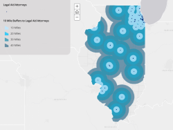
Presentation: Know Your Users- The Importance of User Experience in Court Planning and Operations (Court Technology Conference 2017)
The Illinois Supreme Court and SRLN created a mapping application to assess the court user's experience in Illinois. “User experience and thinking about our users helps increase efficiencies, helps us know what we don't know, and helps us better ...
Presentation: What’s In It For Me? How to Use Geospatial Data Visualization to Inform and Engage Decision Makers (EJC 2017)
At the 2017 American Bar Association (ABA) Equal Justice Conference and the National Meeting of State Access to Justice Chairs, Nancy Kinnally and Alison Davis-Holland shared their story of how they used geospatial data visualization and strategic messag ...
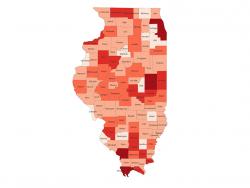
News: Illinois Supreme Court Commission on Access to Justice Uses SRLN Maps for Statewide Strategic Planning (Illinois Supreme Court 2017)
The Illinois Supreme Court Commission on Access to Justice has started using the SRLN demographics maps for presentations to circuit clerks, circuit court judges, civil legal aid and pro bono practitioners. “The maps helped provide context for why access ...
Maps from the States
Below are examples of our GIS and mapping work including online Story Maps, interactive mapping applications, and static maps from a select number of states. For a national picture down to the county level, please see America's Civil Courts: Whom Do ...
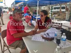
News: Interactive story map shows hurricane impacts and Florida’s vulnerable populations (Florida 2017)
The Self-Represented Litigation Network (SRLN) helped The Florida Bar Foundation create a new data resource that reveals the impact of Hurricane Irma on Florida and the vulnerable populations who could potentially need civil legal aid in the recovery, and ...