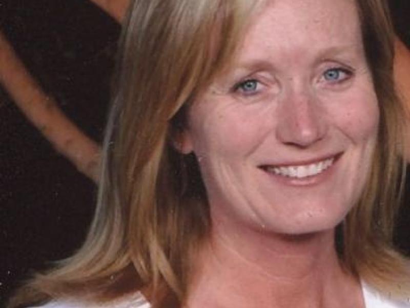
Suzanne Wade
Suzanne Wade has been part of the SRLN Geographic Information Systems (GIS) team since July 2017. She is a GIS Specialist whose interest in mapping began with her job as a Helicopter Instructor Pilot for the US Army. After serving in the military, she obtained her Master’s degree in Resource Management, specializing in GIS and remote sensing. Suzanne has taught GIS classes at the university level, and paired her students with local organizations so that they could understand real world applications of GIS. Working for over 15 years in the GIS industry, she has partnered with numerous State, Federal, local and nonprofit agencies spatially analyzing and providing maps as varied as watershed hydrological assessments to story maps on perceptions and attitudes about wildfire. Her most recent ventures include developing 3D maps for more detailed land-use planning and development. She resides in the Florida Keys.