Map Gallery
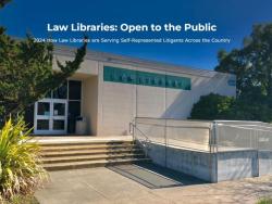
Open to the Public – 2024 How Law Libraries are Serving Self-Represented Litigants Across the Country
The Law Librarians’ Working Group of the Self-Represented Litigation Network with the American Association of Law Libraries Government Law Libraries Special Interest Section Best A2J Practices Committee surveyed law libraries about their services
Resource: Interactive story map shows hurricane impacts and Florida’s vulnerable populations (SRLN & Florida Bar Foundation 2018)
The Self-Represented Litigation Network (SRLN) helped The Florida Bar Foundation create a new data resource that reveals the impact of Hurricane Irma on Florida and the vulnerable populations who could potentially need civil legal aid in the recov
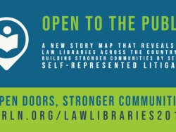
Survey: SRLN Library Working Group National Self-Help in Libraries Survey (SRLN 2019)
SRLN Report (March 2021) Evaluating Library Services to Self-Represented Litigants: A Story of Two Surveys
SRLN GIS Professional Services
SRLN is pleased to make its Geographic Information Systems (GIS) and mapping services available to its members to help to drive data-driven solutions in the justice sector.
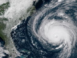
Project: How Civil Legal Help Is Vital to Recovery from Hurricane Florence (North and South Carolina & SRLN 2018)
Hurricane Florence hit North and South Carolina on Sept. 14, 2018, bringing high winds and flooding and devasting damage.
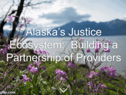
Resource: Alaska’s Justice Ecosystem: Building a Partnership of Providers (SRLN 2017)
Created by the Self-Represented Litigation Network for the Alaska Court System, this Story Map describes Alaska’s civil justice ecosystem and the common civil legal issues that many Alaskans face.
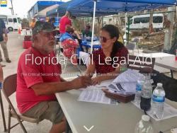
News: Interactive story map shows hurricane impacts and Florida’s vulnerable populations (Florida 2017)
The Self-Represented Litigation Network (SRLN) helped The Florida Bar Foundation create a new data resource that reveals the impact of Hurricane Irma on Florida and the vulnerable populations who could potentially need civil legal aid in the recov
Maps from the States
Below are examples of our GIS and mapping work including online Story Maps, interactive mapping applications, and static maps from a select number of states.
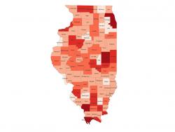
News: Illinois Supreme Court Commission on Access to Justice Uses SRLN Maps for Statewide Strategic Planning (Illinois Supreme Court 2017)
The Illinois Supreme Court Commission on Access to Justice has started using the SRLN demographics maps for presentations to circuit clerks, circuit court judges, civil legal aid and pro bono practitioners.
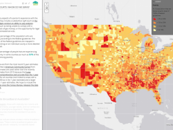
Resource: America's Civil Courts: Whom Do We Serve? (SRLN 2023)
America's Civil Courts: Whom Do We Serve? is a geospatial story map produced by the Self-Represented Litigation Network to better understand local needs.<