Document Author
Topic
- Map Gallery (4) Apply Map Gallery filter
- 100% Access to Justice (2) Apply 100% Access to Justice filter
- Best Practices (1) Apply Best Practices filter
- LEP and Access (1) Apply LEP and Access filter
- LEP Reports (1) Apply LEP Reports filter
- Plain Language & LEP (1) Apply Plain Language & LEP filter
- Reports, Evaluations, Best Practices, Surveys (1) Apply Reports, Evaluations, Best Practices, Surveys filter
- Research (1) Apply Research filter
- State-by-State (1) Apply State-by-State filter
- State Language Access Plans (1) Apply State Language Access Plans filter
- Strategic Planning (1) Apply Strategic Planning filter
State
Tags
Post date
Search results

SRLN GIS Professional Services
SRLN is pleased to make its Geographic Information Systems (GIS) and mapping services available to its members to help to drive data-driven solutions in the justice sector. We have staff with expertise in justice data and geospatial analysis and a full su ...

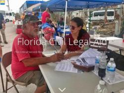
News: Interactive story map shows hurricane impacts and Florida’s vulnerable populations (Florida 2017)
The Self-Represented Litigation Network (SRLN) helped The Florida Bar Foundation create a new data resource that reveals the impact of Hurricane Irma on Florida and the vulnerable populations who could potentially need civil legal aid in the recovery, and ...

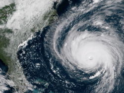
Project: How Civil Legal Help Is Vital to Recovery from Hurricane Florence (North and South Carolina & SRLN 2018)
Hurricane Florence hit North and South Carolina on Sept. 14, 2018, bringing high winds and flooding and devasting damage. Civil legal aid organizations needed to quickly identify and reach out to the most impacted individuals to provide valuable services ...

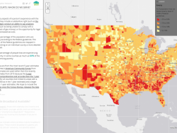
Resource: America's Civil Courts: Whom Do We Serve? (SRLN 2023)
America's Civil Courts: Whom Do We Serve? is a geospatial story map produced by the Self-Represented Litigation Network to better understand local needs. Consumer-oriented solutions require a deep and accurate understanding of the people being served ...